1870年の米国中学生(middle school students grades 6-8)向けの教科書
”School geography : embracing a mathematical, physical, and political description of the earth” by Adolph von Steinwehr
に掲載の地図。
1870年とは、明治維新から2年後。平民に名字が許され、人力車が発明された年だ。
日本に帝国主義のかけらすらなく、もちろん軍事的な海洋進出は夢の話である。
尖閣諸島を帝国主義の日本が不当に窃取したと主張する某国の政治家や学者たちは、この時代の米国の10-12歳の生徒に地理を教わると良い。
北方領土にも注目だ。日本固有の領土として国際的に認知されている。
Title: School geography : embracing a mathematical, physical, and political description of the earth
Creator: Steinwehr, A. von (Adolph), 1822-1877
Original Date: 1870
Publisher: Van Antwerp, Bragg & Company
Series: Eclectic series of geographies, no. 3
Audience: Middle school students (grades 6-8).
http://libx.bsu.edu/cdm/ref/collection/HstrcTxtbks/id/41547
http://libx.bsu.edu/cdm/compoundobject/collection/HstrcTxtbks/id/41687/rec/3
100頁に掲載の地図

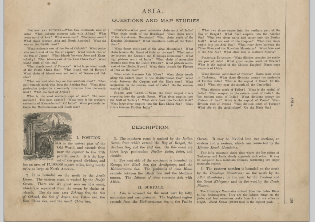
101頁

この頁の左上方に、日本海、東シナ海、南シナ海の位置とそこにある島々に関する質問が記載されている。
この教科書の前年に作成された下記の地図(但し、米国国会図書館は1905年10月10日に取得)に記された事実、日本の西端の国境線、は広く知れ渡っていたと思われる。
仮定の話だが、この地図だけを参考に日本の国境線を描いたとすれば、本記事で話題にしている1870年の米国中学校用の教科書 ”School geography ” に対馬が描かれていないことや、鬱陵島、竹島が描かれていないことも納得できる。
#尖閣 #尖閣反駁マニュアル百題 #陳侃三喜 #いしゐのぞむ #伊井茂 #赤染泰久 #琉球 #沖縄 #日中 #中国 #中共 #棚上げ #首脳会談 #領有権 #領海侵犯 #東シナ海 #中国公船 #首相官邸 #センカクモグラを守る会 #野口健 #生物多様性条約 #山際大志郎 #横畑泰志 #野生化ヤギ #センカクモグラ